When satellite and aerial imagery fall short, Spexi delivers the clarity and recency your workflows rely on.


.webp)

Temporal data gaps cause model drift and data decay.
Spexi’s fresh captures eliminates stale data, delivering continuously updated imagery that keeps your spatial intelligence accurate and up-to-date.
.webp)
Spexi delivers imagery exactly where and when it’s needed, empowering faster, smarter, and more responsible decisions.

.webp)
Fresh, standardized, ML-ready imagery products generated exactly where and when your models need them. Delivered via API and optimized for spatial AI workflows.
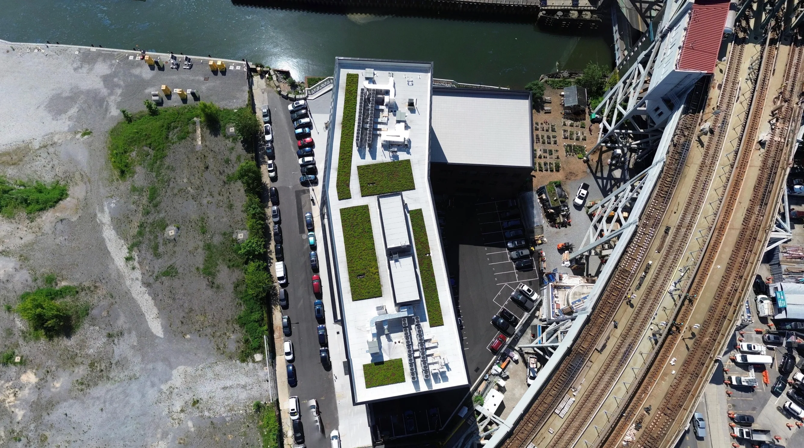
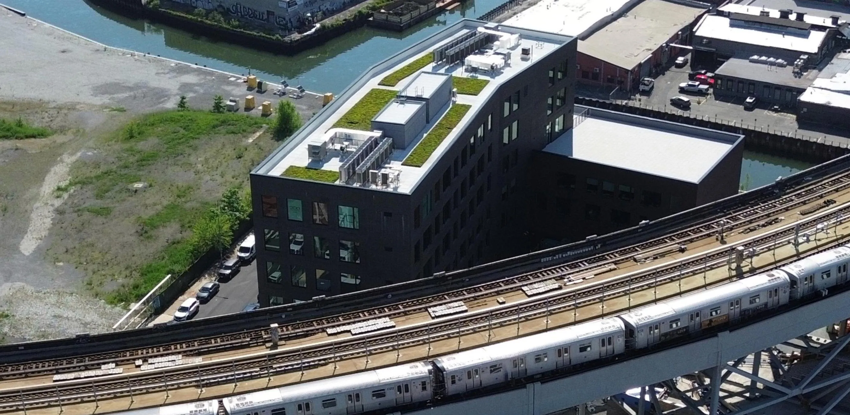
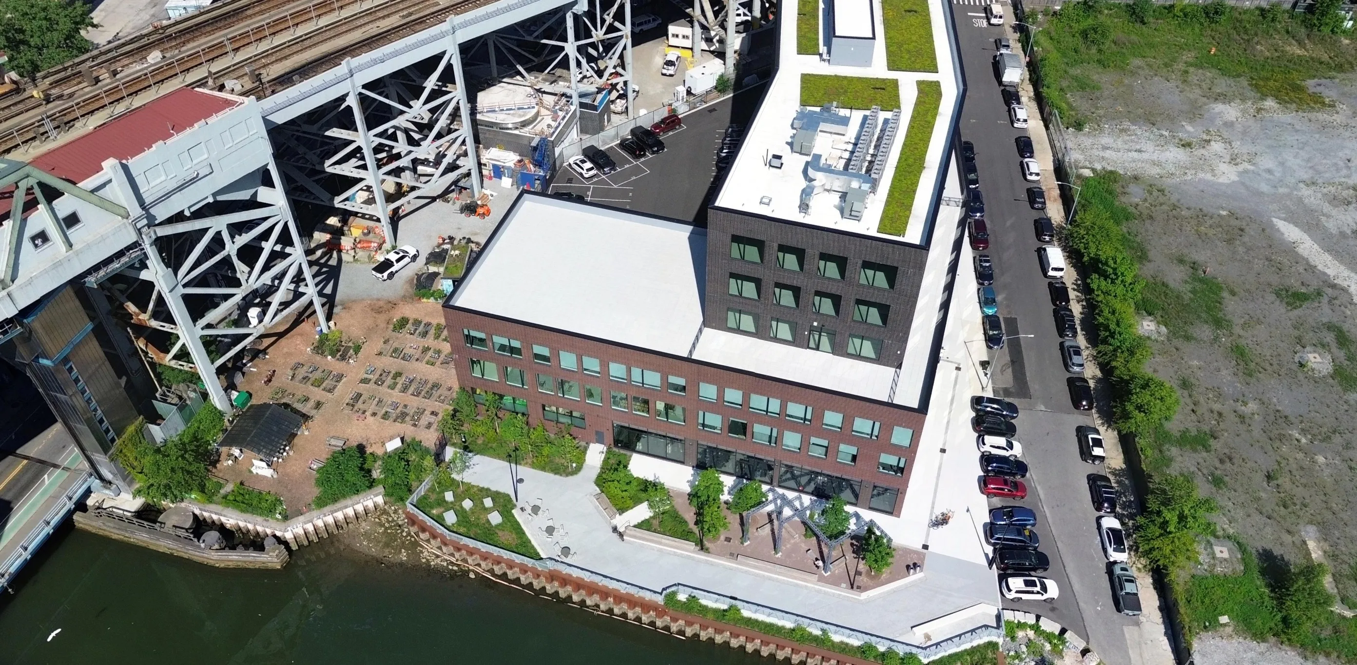
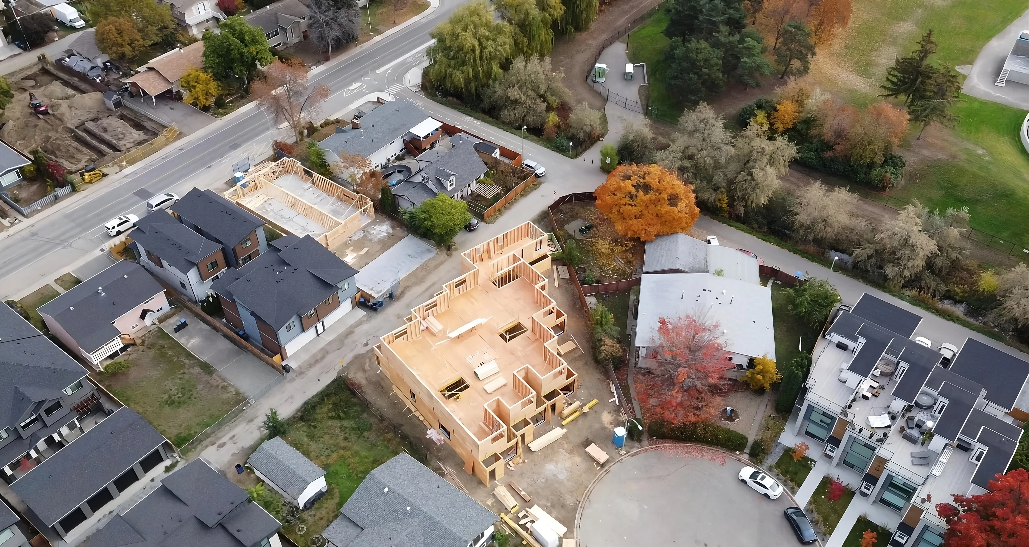
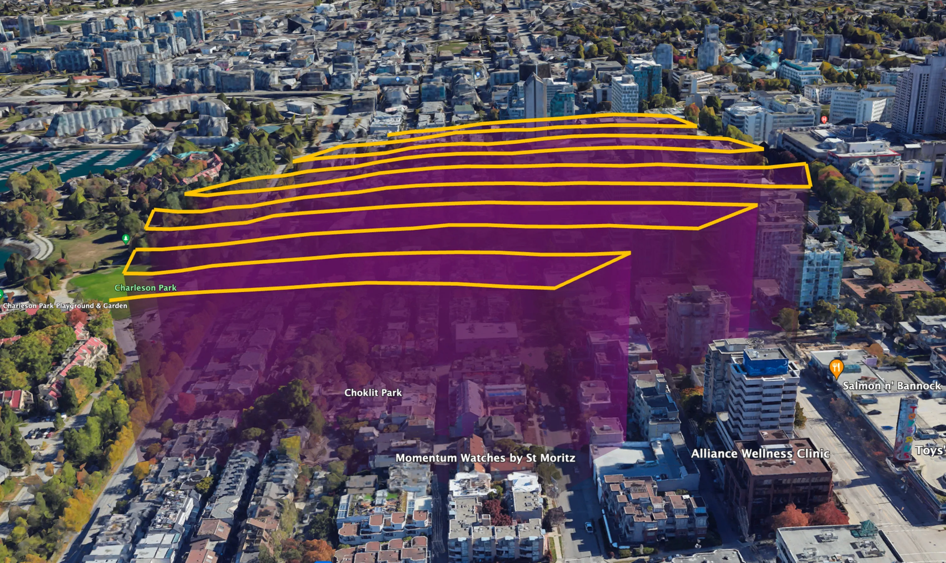
Flying the oblique flight plan, drones capture angled imagery from 7 waypoints within each Spexigon. The result: immersive 360° panoramas, ideal for aerial site inspections and tracking change over time.

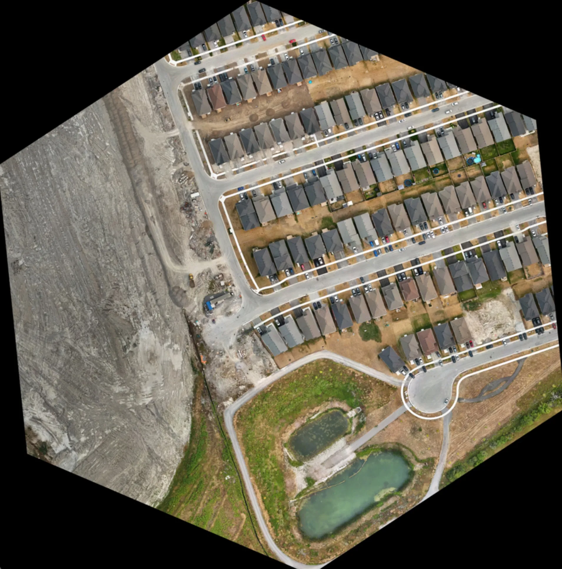
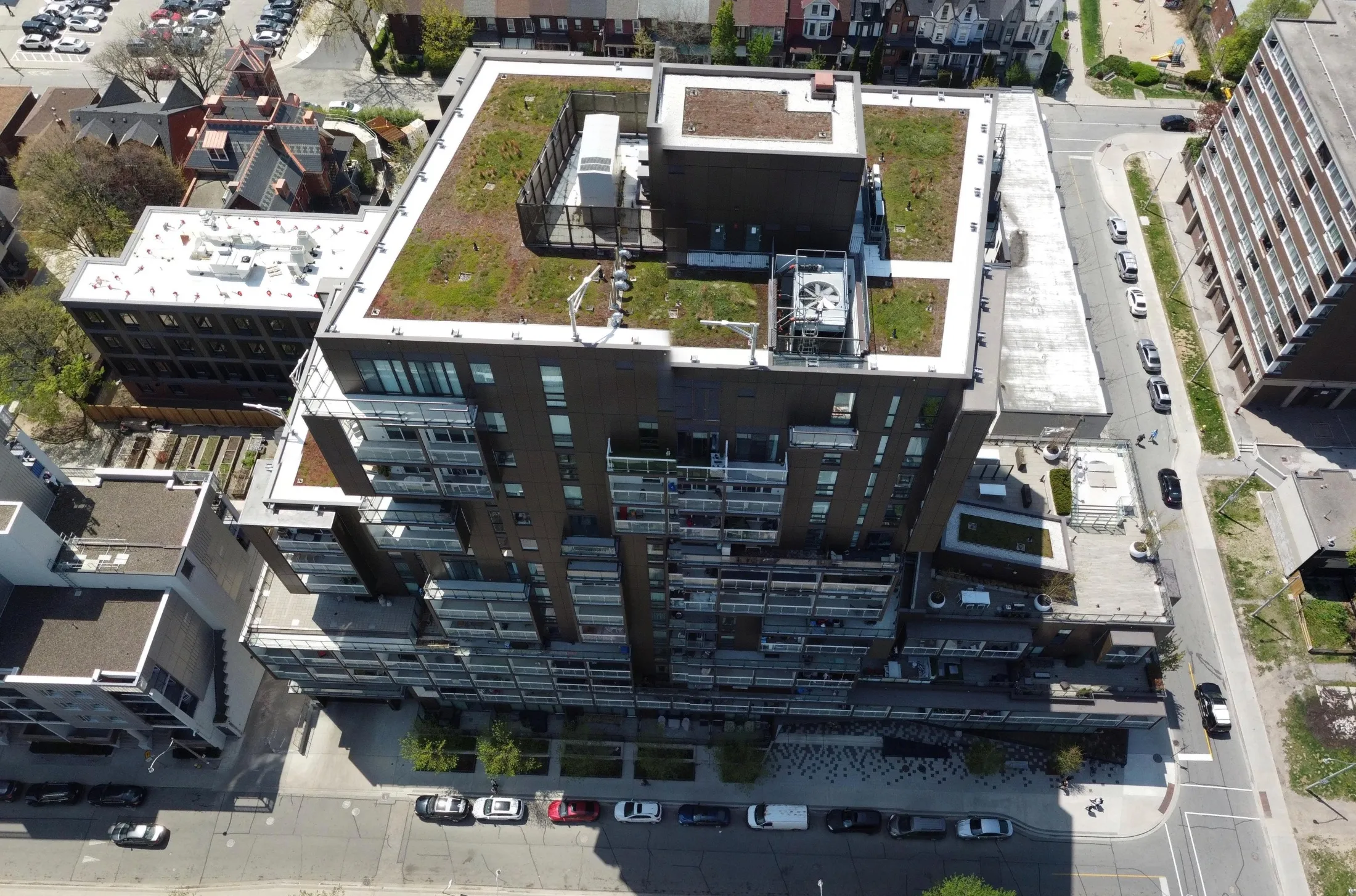
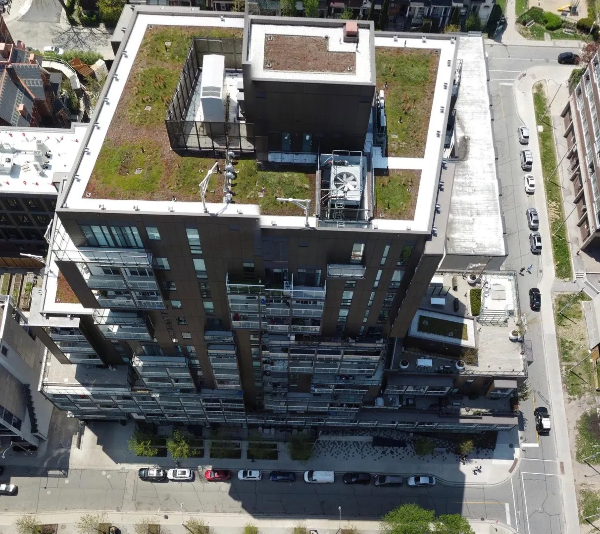
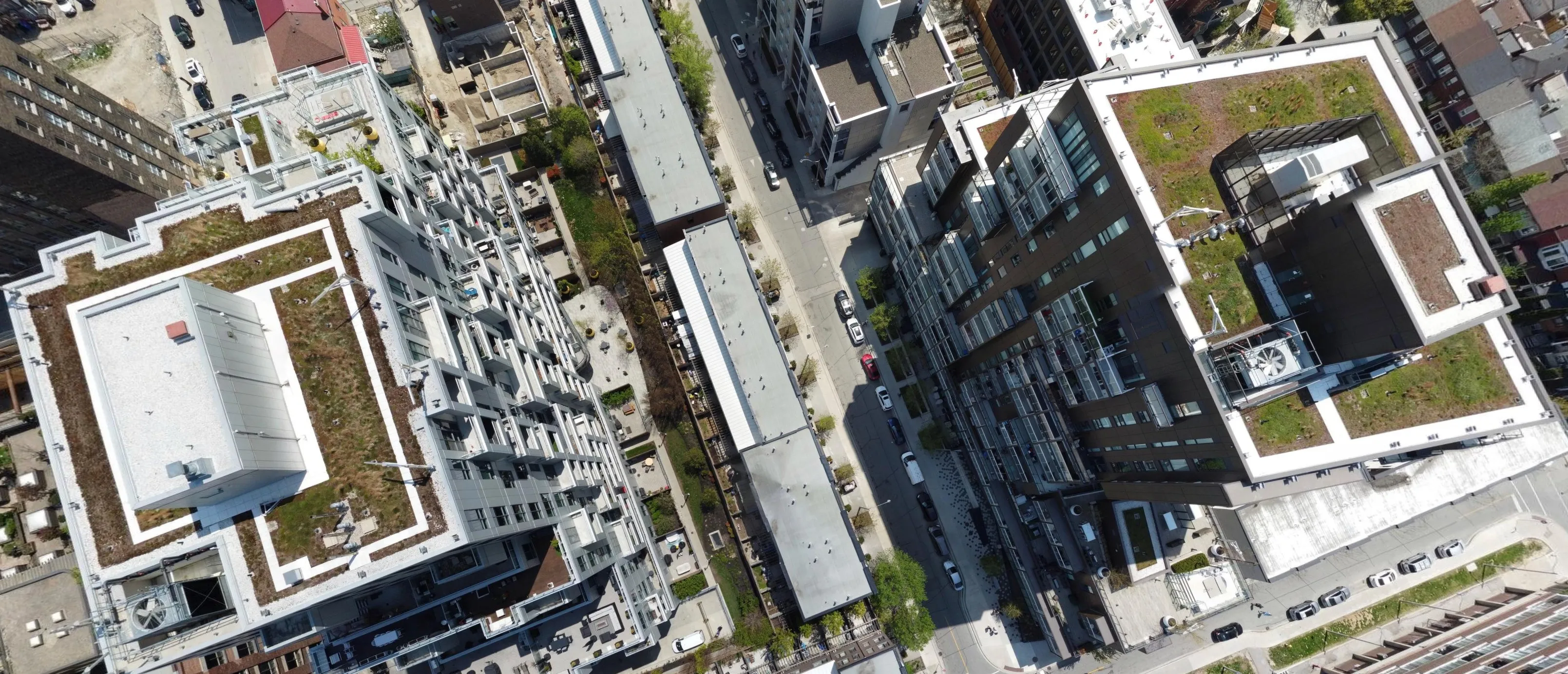
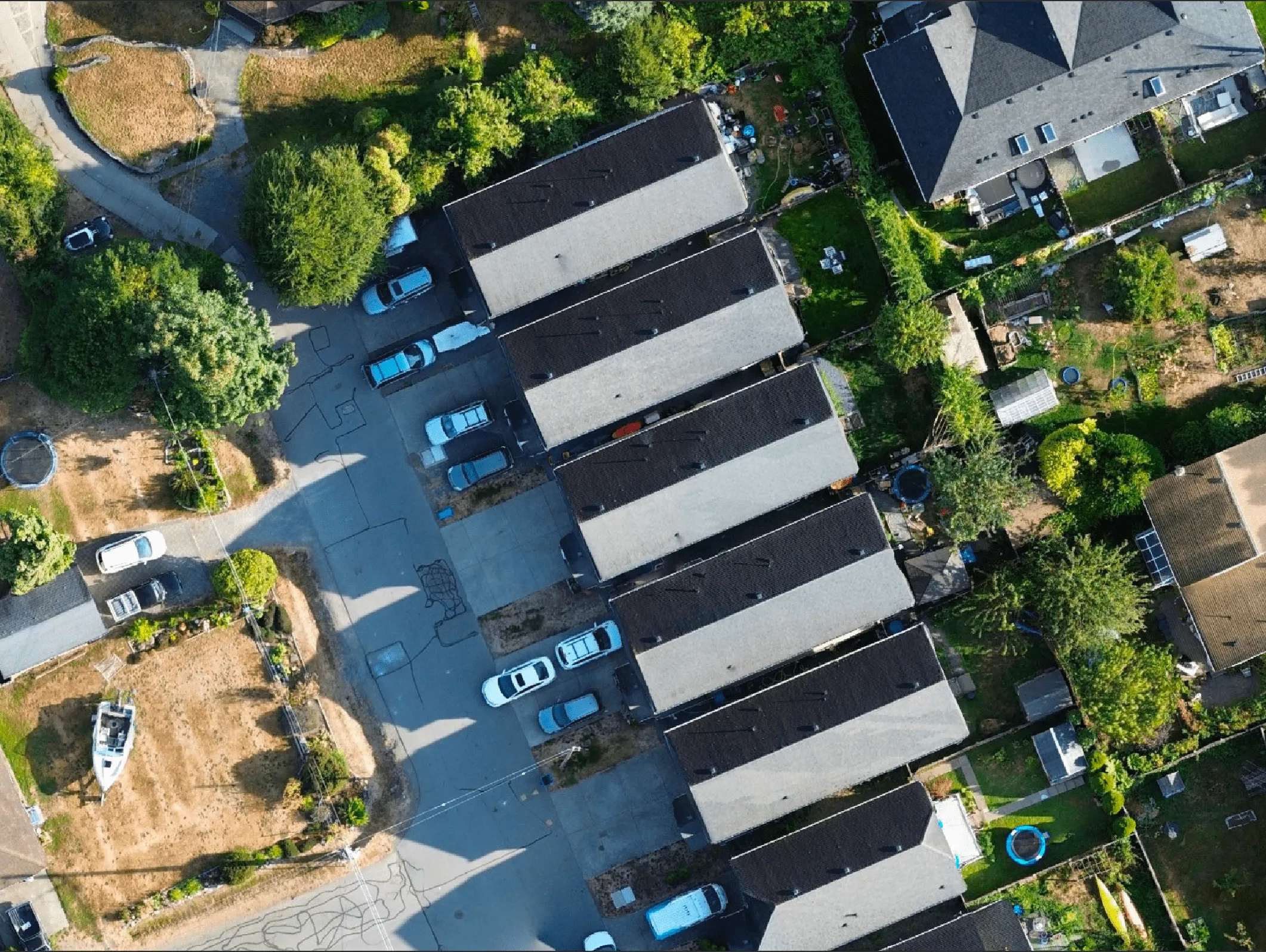
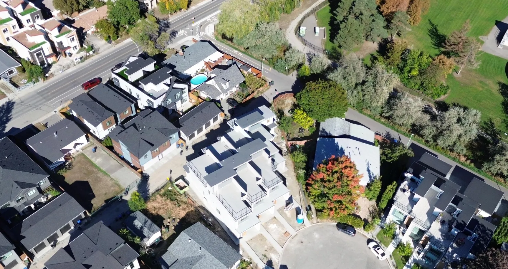
High-resolution, top down imagery stitched into georeferenced maps. Perfect for measurements, overlays, and planning with GIS precision.
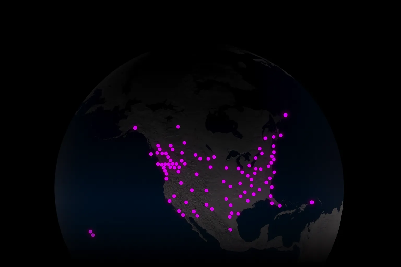
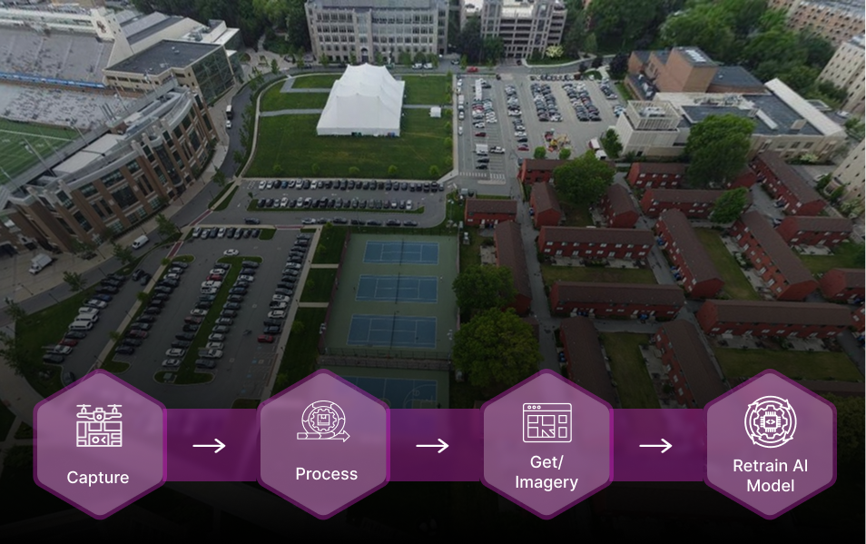
Spexi leverages software and a global network of drone pilots to produce fully standardized and ultra-high resolution imagery products of Earth.
.webp)


.webp)
Use case: Street mapping, object classification
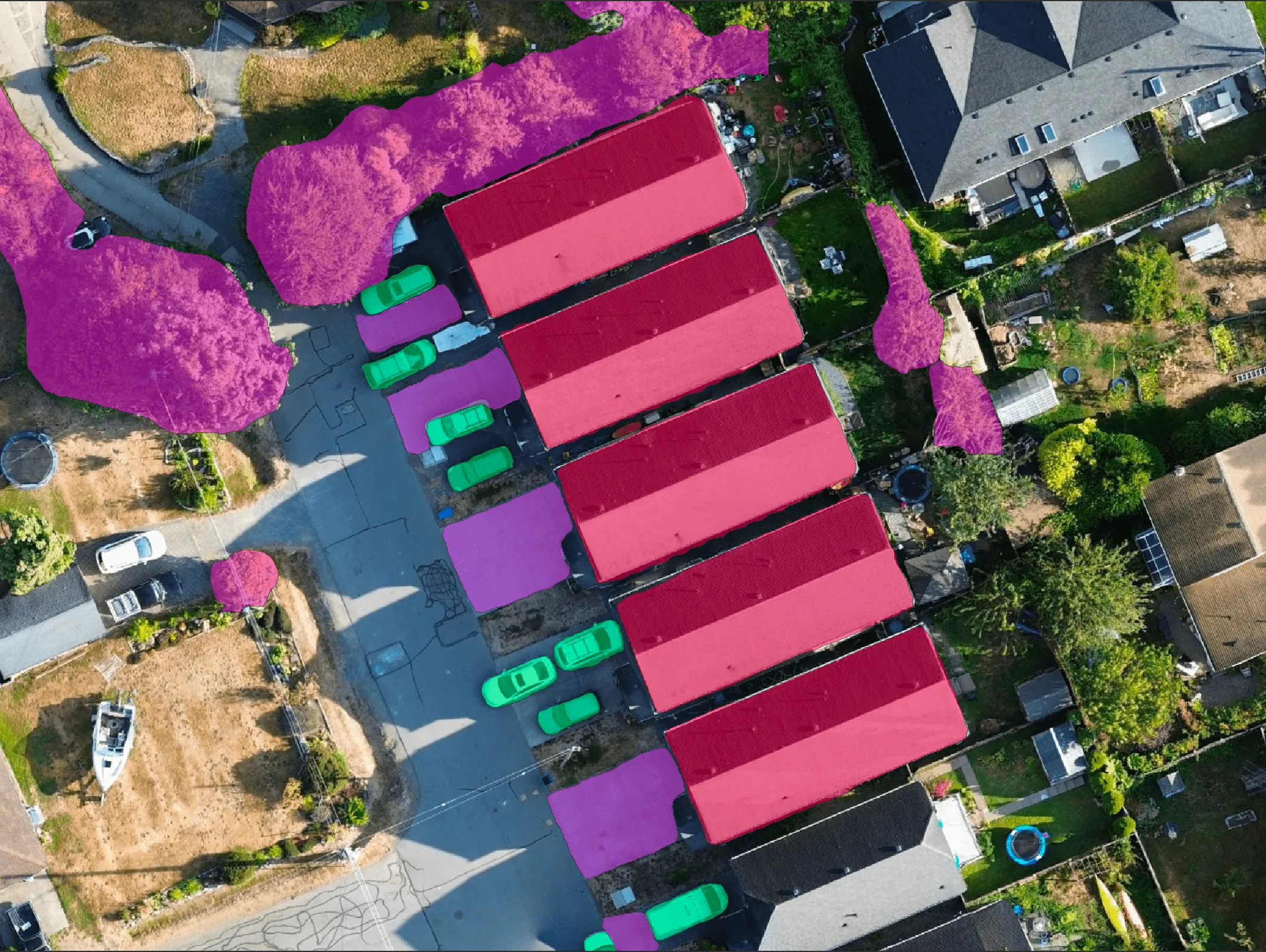
Use case: Roof damage detection, construction progress, land cover detection

Use case: Post-disaster analysis, encroachment alerts


Use case: Infrastructure & urban modeling, autonomous navigation


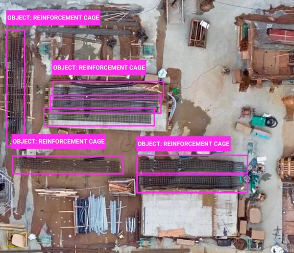
Use case: AI model training (detection, mapping, risk assessment)
Empower city planners and public works teams with up-to-date aerial insights for zoning, code enforcement, infrastructure audits, and emergency response.

Speed up claims, assess risk remotely, and detect roof damage, debris, and vegetation overgrowth with precision-captured imagery.

Spexi data fuels next generation spatial AI and XR applications enabling the most realistic, detailed, and intelligent experiences ever created.

Turn your drone flights into real value with LayerDrone.
Access up-to-date imagery via API.